Insights
Read the latest news and insights from the LR OneOcean team and stay up to date.
Filter by
Comply

Company

Perform


Perform
Company

Perform

Company

Comply


Comply
Article29 November 2023
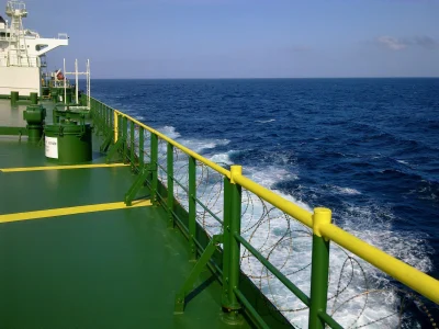
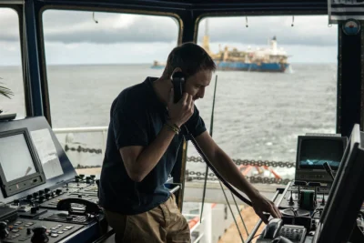
The crucial role of voyage planning and route optimisation in maritime operations

Manage

Manage
Article02 November 2023
Charting certification waters: challenges, solutions and specialised requirements

Comply


Comply

Manage

Manage

Comply

Compliance

Compliance
Company

Company


Company

Company

Company

Company

Crew Management

Compliance

Compliance

Company

Company


Compliance

Compliance

Company

Company

Company

Company

Company
Company

Company
Company
Company

Showing 1 - NaN of undefined